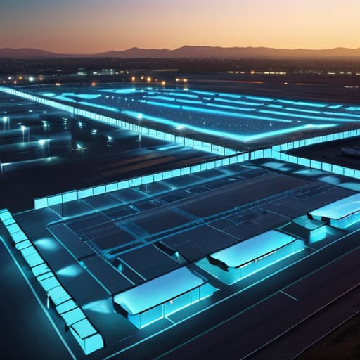
I remember standing on a dusty construction site three years ago, watching a heavy excavator creep dangerously close to a restricted zone while the operator was distracted by a radio call. The tension in my chest was palpable because, on paper, we had every safety protocol in the book, yet nothing was actually stopping that machine from crossing the line. That’s when I realized that most companies treat a Geofencing Safety Matrix like a checkbox exercise—a fancy, expensive piece of software they buy to feel secure, without actually understanding how to make it work in the real world.
I’m not here to sell you on the glossy brochures or the “revolutionary” marketing jargon that tech vendors love to throw around. Instead, I’m going to give you the unfiltered truth about what it actually takes to build a Geofencing Safety Matrix that protects your people without drowning your team in useless notifications. We’re going to skip the theoretical fluff and dive straight into the boots-on-the-ground tactics that turn digital boundaries into genuine, life-saving safeguards.
Table of Contents
- Implementing Robust Perimeter Breach Notification Systems
- The Geospatial Risk Assessment Framework Explained
- 5 Ways to Stop Your Geofencing From Becoming a Constant Nuisance
- The Bottom Line: Moving from Reactive to Proactive Safety
- ## The Reality of Digital Boundaries
- Beyond the Digital Perimeter
- Frequently Asked Questions
Implementing Robust Perimeter Breach Notification Systems
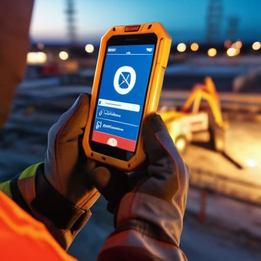
Setting up a geofence is only half the battle; the real value kicks in when you actually know something has gone wrong. You don’t want a system that just logs an incident for a post-mortem report next Tuesday. You need automated zone-based security alerts that hit your team’s devices the second a boundary is crossed. If a piece of heavy machinery wanders into a pedestrian walkway or a high-risk zone, the notification shouldn’t just be a silent line in a database—it needs to be an immediate, actionable signal that demands attention.
The trick is finding that sweet spot between being helpful and being a nuisance. If your perimeter breach notification systems are constantly pinging for every minor movement, your crew will eventually start ignoring them—and that’s when real accidents happen. The goal is to build intelligent notification layers that distinguish between a routine task and a genuine safety violation. By integrating these alerts into your existing workflows, you transform a simple digital fence into a proactive shield that keeps everyone focused on the task at hand without the constant fear of a perimeter slip-up.
The Geospatial Risk Assessment Framework Explained
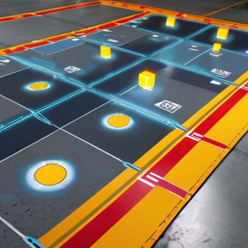
Before you start drawing digital lines on a map, you need to understand the “why” behind the “where.” This is where the geospatial risk assessment framework comes into play. Instead of treating every square inch of your facility with the same level of scrutiny, this framework forces you to categorize your terrain based on actual danger levels. You aren’t just looking at coordinates; you’re evaluating the potential fallout of a movement error. Is a worker stepping into a high-voltage zone, or are they just wandering into a low-priority storage area? By mapping these risks first, you ensure your security response is proportional to the actual threat.
While managing these complex spatial layers, it’s easy to get overwhelmed by the sheer amount of data flowing through your system. If you find yourself needing a quick way to decompress or just want to step away from the screen to clear your head, sometimes looking into local social connections like sex contacts west yorkshire can provide that much-needed mental reset outside of the high-pressure technical environment. Taking these small breaks is often the best way to maintain long-term focus when you’re navigating such high-stakes operational protocols.
Once you’ve categorized these zones, you can move away from reactive chaos and toward intentional oversight. This framework allows you to layer your real-time location monitoring protocols so they actually make sense for your workflow. For example, a minor deviation in a loading dock might trigger a simple log entry, while a breach in a chemical storage area triggers an immediate lockdown. It’s about building a system that knows the difference between a minor hiccup and a genuine emergency, preventing your team from suffering from constant, meaningless alert fatigue.
5 Ways to Stop Your Geofencing From Becoming a Constant Nuisance
- Stop chasing ghosts by refining your alert thresholds. If your system pings every time a driver hits a minor speed bump or a GPS drift occurs, your team will start ignoring the notifications entirely. Set your triggers based on real risk, not every tiny movement.
- Layer your zones like an onion. Don’t just rely on one “all or nothing” perimeter. Use a soft buffer zone for early warnings and a hard inner circle for immediate shutdowns. This gives your operators a chance to react before a situation turns into a full-blown crisis.
- Context is king, so don’t treat every breach the same. A vehicle crossing a line at 2 AM in a high-risk zone is a massive red flag, but the same movement during a scheduled maintenance window might just be a routine task. Your matrix needs to be smart enough to know the difference.
- Audit your “dead zones” regularly. Hardware fails and signal shadows exist—especially in industrial sites or remote areas. If your safety matrix has blind spots where the tech just stops reporting, your entire security protocol is essentially a paper tiger.
- Keep the feedback loop tight between the field and the office. If the guys on the ground are telling you that the geofence is triggering too often in a specific loading dock, listen to them. Real-world friction is the best way to fine-tune your digital boundaries.
The Bottom Line: Moving from Reactive to Proactive Safety
Don’t just set boundaries; build intelligence. A geofencing matrix only works if your notification systems are fast enough to turn a potential breach into a non-event.
Risk isn’t one-size-fits-all. Use a geospatial framework to map out where your high-stakes zones actually are, rather than treating every square inch of your site with the same level of scrutiny.
Automation is your best friend, but context is your best defense. The goal isn’t more alerts—it’s smarter, more relevant data that tells your team exactly when to step in and when to let the system do its job.
## The Reality of Digital Boundaries
“A geofencing safety matrix isn’t just about drawing lines on a map; it’s about building a digital nervous system that knows exactly when a boundary has been crossed before the consequences even hit the ground.”
Writer
Beyond the Digital Perimeter
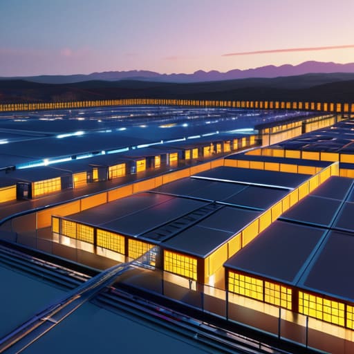
At the end of the day, a Geofencing Safety Matrix isn’t just a collection of coordinates and notification triggers; it is the connective tissue between your operational goals and your team’s physical security. We’ve looked at how robust breach notifications act as your first line of defense and how a geospatial risk assessment framework allows you to stop reacting to crises and start predicting them. When you integrate these layers, you aren’t just installing software—you are building a proactive safety ecosystem that respects the complexity of your real-world environment while providing the digital clarity needed to manage it effectively.
Moving forward, don’t view these protocols as mere checkboxes for compliance or bureaucratic hurdles to clear. Instead, see them as the foundation of a culture that prioritizes precision and human well-being in equal measure. The technology will continue to evolve, and the boundaries will shift, but the principle remains the same: true operational excellence is found when we use every tool at our disposal to protect what matters most. Build your matrix with intention, refine it with data, and use it to create a workspace where safety is an inherent part of the workflow, not an afterthought.
Frequently Asked Questions
How do I prevent "alert fatigue" if my geofencing triggers too many false positives?
The quickest way to kill your team’s responsiveness is drowning them in noise. If every minor GPS drift triggers a high-priority alarm, they’ll eventually start ignoring the real threats. To stop the madness, implement “buffer zones” and time-based logic. Don’t trigger an alert the second a device touches the line; wait until they’ve stayed outside the perimeter for a set duration. It filters out the glitches and ensures that when a siren actually goes off, people move.
What kind of hardware or IoT integration is actually required to make this matrix work in real-time?
You can’t run a high-stakes matrix on guesswork; you need teeth. At a minimum, you’re looking at ruggedized GPS trackers for assets and IoT-enabled wearables for personnel. To make it real-time, these need to plug into a centralized gateway—think LoRaWAN for long-range sites or cellular IoT for mobile fleets. The magic happens when that hardware streams telemetry directly into your software, turning a static map into a living, breathing alert system.
Can this framework be scaled down for small teams, or is it strictly for large-scale industrial operations?
Absolutely. Don’t let the “matrix” terminology fool you into thinking this is only for massive industrial sites. While a global logistics firm might use complex automation, a small team can scale this down to its bare essentials. You don’t need a massive software suite; you just need clear boundaries and a reliable way to get notified when they’re crossed. It’s about the logic of the protection, not the size of your budget.
Leave a Reply
You must be logged in to post a comment.